We are welcomed by NZ’s highest peaks; Mount Cook’s eternal sister, standing proud and regal in the distance as we conclude our 275km scenic drive from Christchurch to Aoraki National Park. Mesmerising, timeless beauty on such a grand scale. We hike up Mount Ollivier to get a better vantage point and find that “[we] only went out for a walk [but] finally concluded to stay out till sundown, for going out, [we] found, was really going in.” – John Muir
New Zealand had been on my radar for some time, so when I saw return flights for just $400, I knew it was time to cross the ditch and finally explore this magnificent island nation. Two days later my good friend and I touched down in Christchurch about midnight. With 100 hours on the ground, the plan was to make every minute count with an itinerary light on sleep but bursting with experience – from gourmet food to glacial fields, quaint towns to crazy treks, and azure lakes to alpine landscapes.
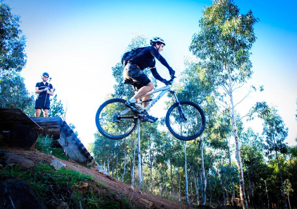
Our journey through this verdant land with colossal snow-capped peaks saw us travel 1200 kilometres on scenic uncrowded roads. We hiked to Mueller Hut and beyond to Mount Ollivier, the exact climb that inspired Sir Edmund Hillary’s mountaineering career, and then we dashed over to the adrenalin capital of the world, Queenstown. There, we unleashed a rush of endorphins as we downhill mountain-biked the steep trails of the Skyline, followed immediately by a high-speed jet boat trip before finally easing off the throttle as we sipped lager at a boutique pub proud of its creative craft beers. Next, we found ourselves in Wanaka and Lake Hāwea for another quad-breaking tramp (as the Kiwis call it) to the isolated Grandview Mountain, though any calories burnt were countered by crispy wood-fired pizzas for dinner back in Wanaka. The clock struck nine of the hour and our flight from Christchurch was due to depart at the crack of dawn. We hit double espressos, beelined back to Christchurch, caught an hour shut-eye in the hire car, returned the keys and flew over the Tasman Sea back to Sydney, just in time for work. It was an inspiring first trip to NZ and the first, I hope, of many more.

A spontaneous decision to fly to New Zealand with Edan. We arrived in Christchurch at midnight, were asleep by 2.00am but on the beach by 6.00am to be greeted with a golden sunrise to mark the start of our road trip. The plan from there was to squeeze as much as humanly possible into four full days, sacrificing sleep in favour of unique experiences.

Stop and smell the lavender – just one of the many incredible pit stops on our travels

A sea of lavender

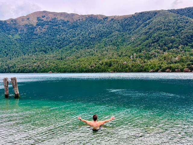
There is only a handful of countries in the world with such blue-turquoise lakes due to fine “glacial flour” pouring and streaming down from the surrounding mountains

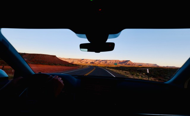
Roadblock

Somewhere en route to Aoraki / Mount Cook National Park

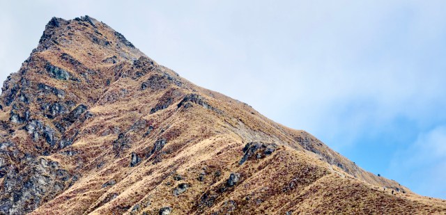
Rolling hills and luscious colours

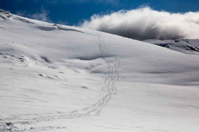
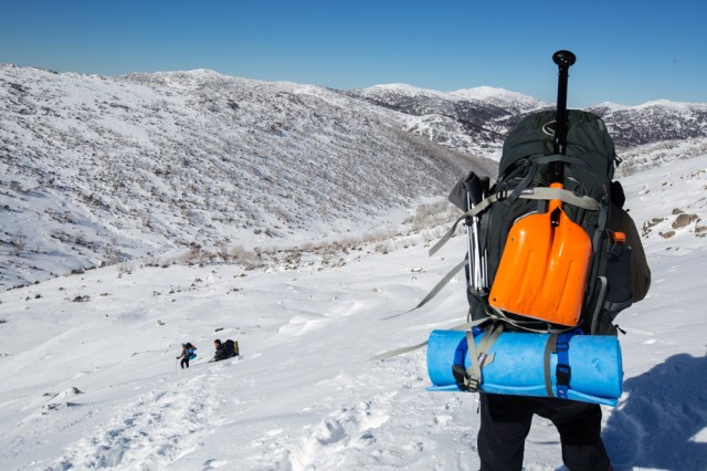
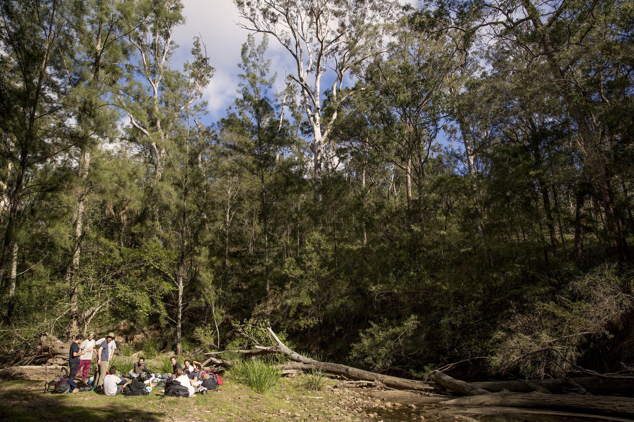
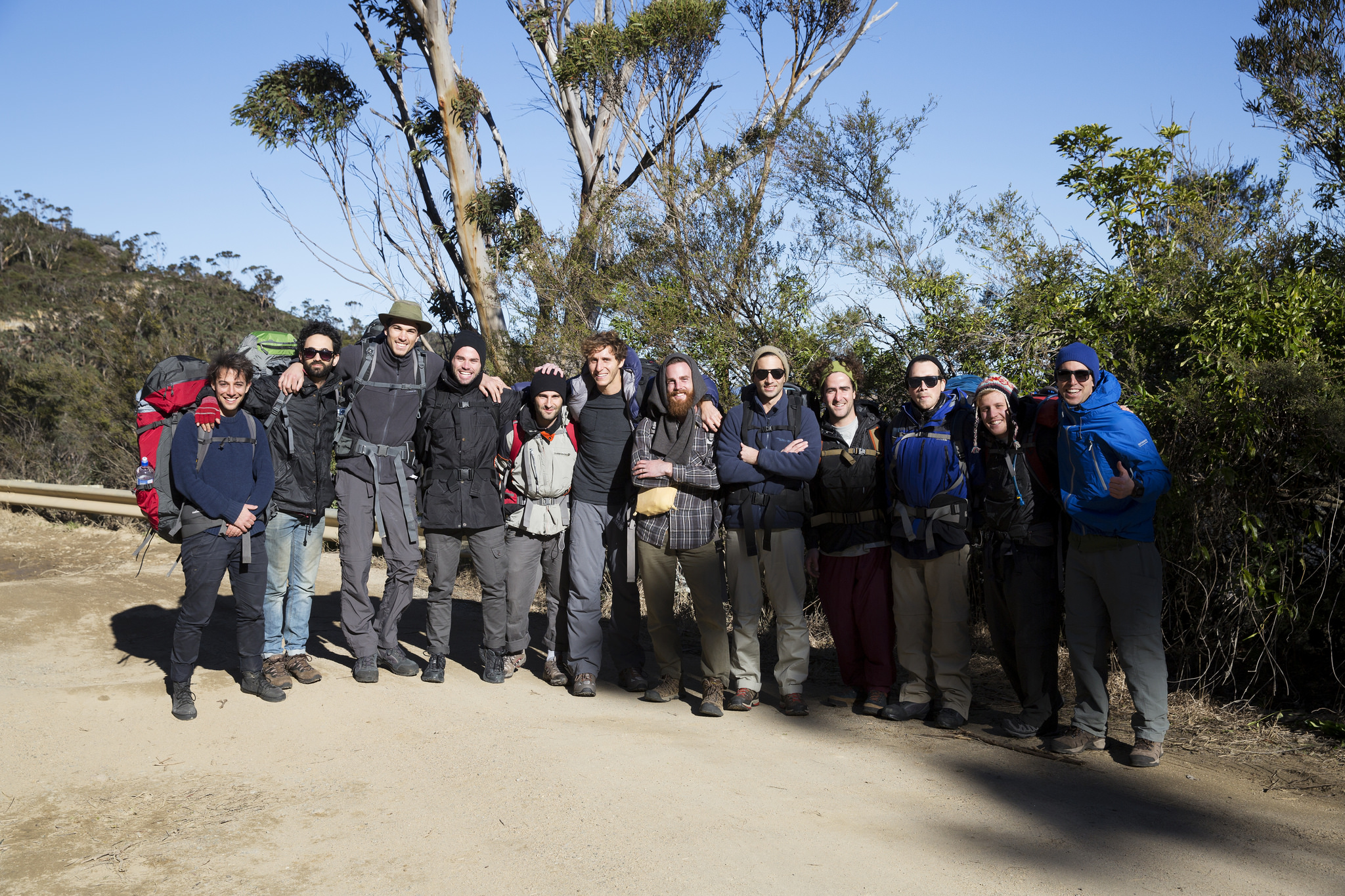
Sealy Tarns on the way to Mueller Hut and then Mount Ollivier

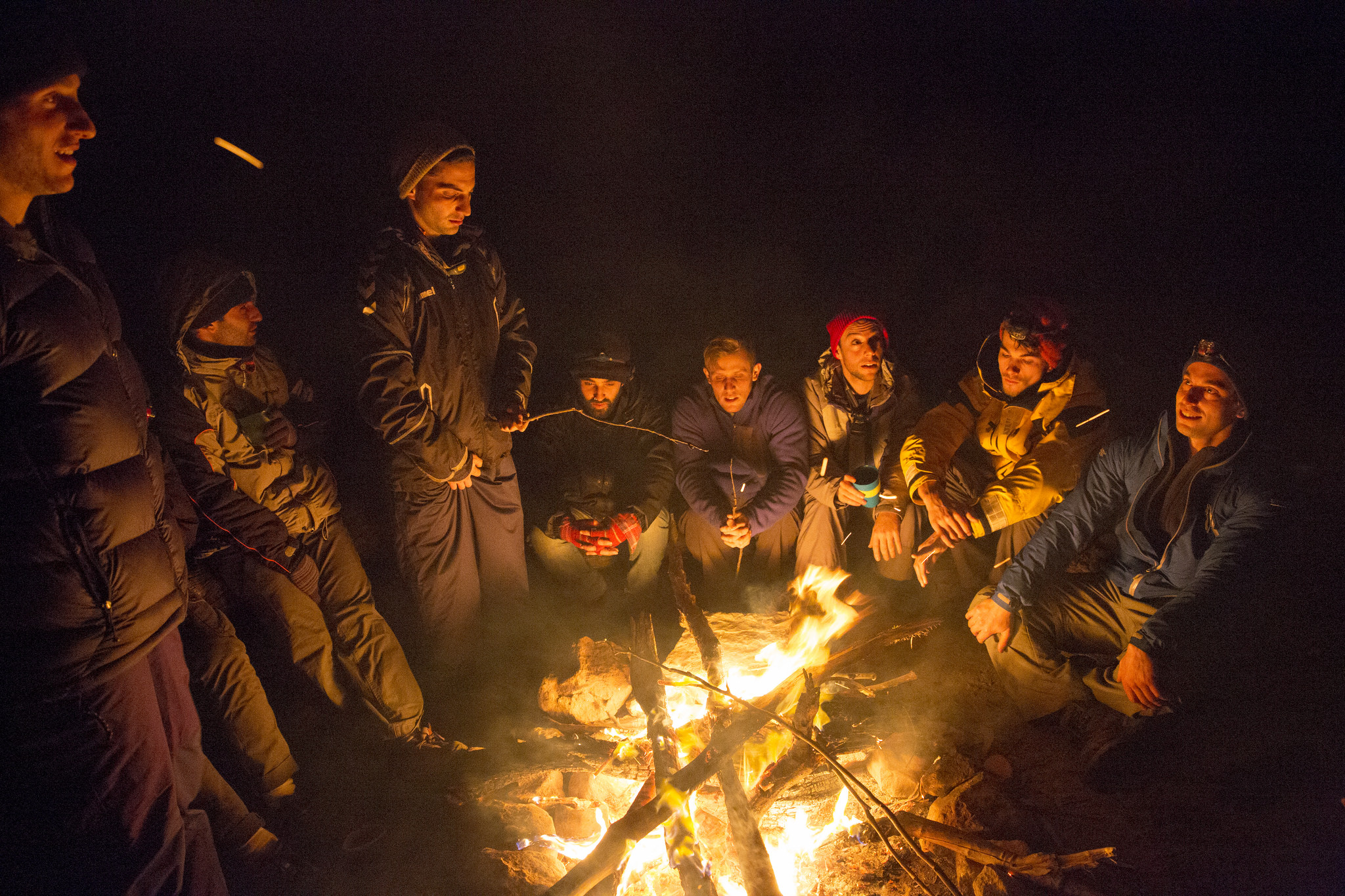
“Keep close to Nature’s heart… and break clear away, once in awhile, and climb a mountain or spend a week in the woods. Wash your spirit clean.” – John Muir

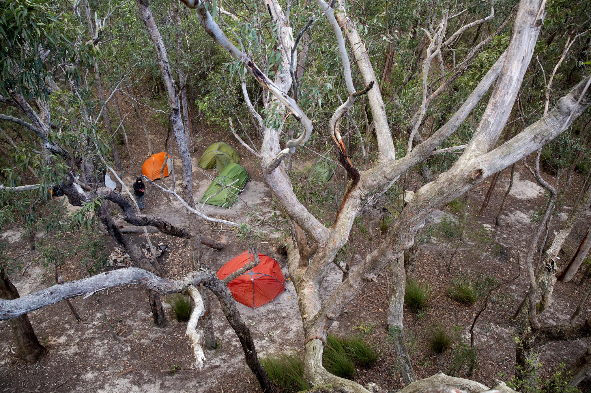
The red roof of Mueller Hut below

Quintessentially road-tripping

The beautiful Lake Tekapo

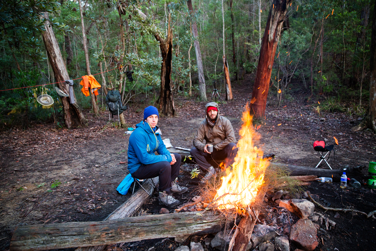
Back-burning

Lakes everywhere

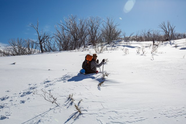
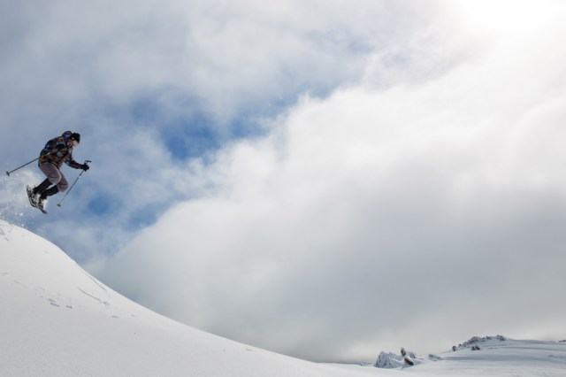
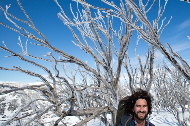
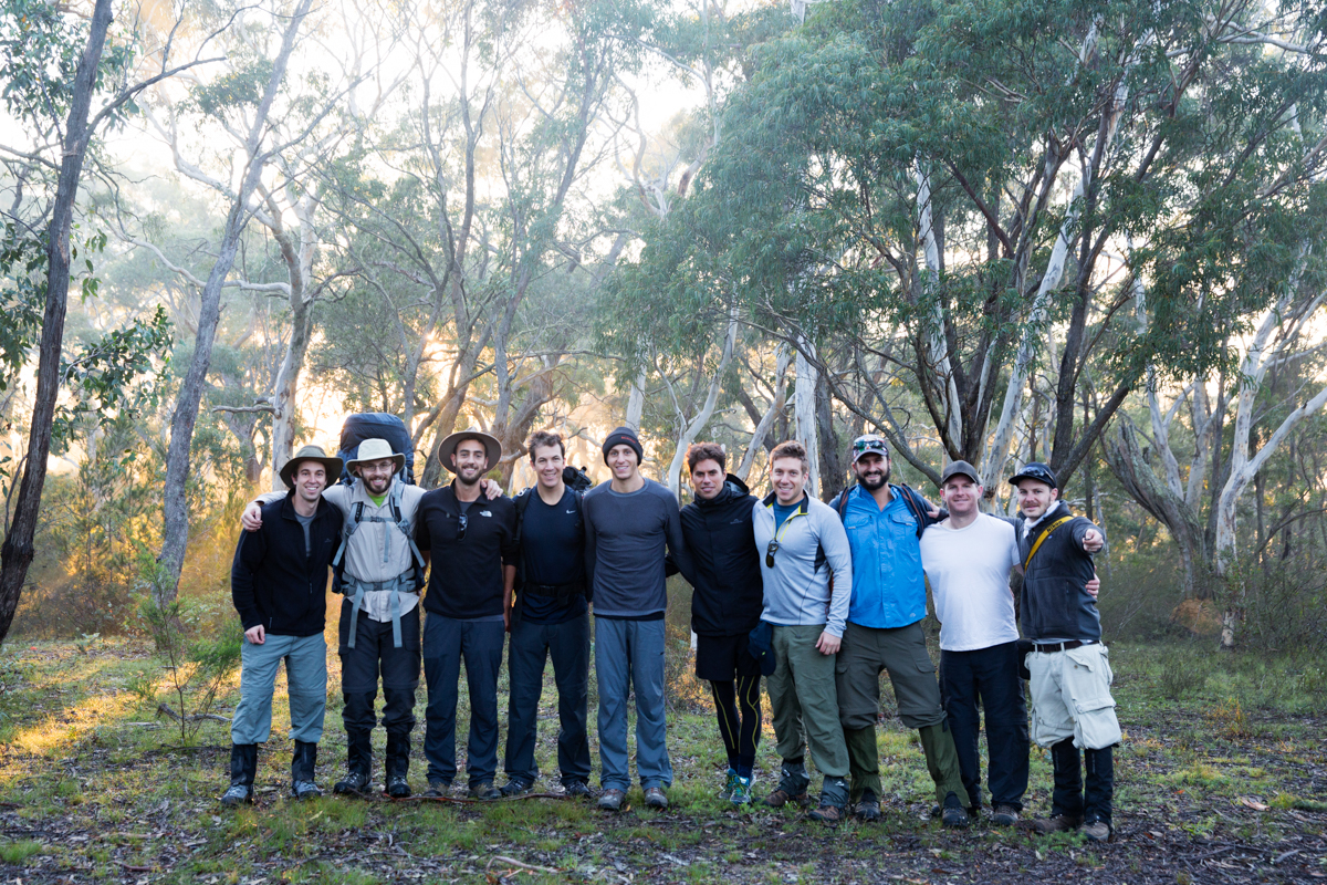
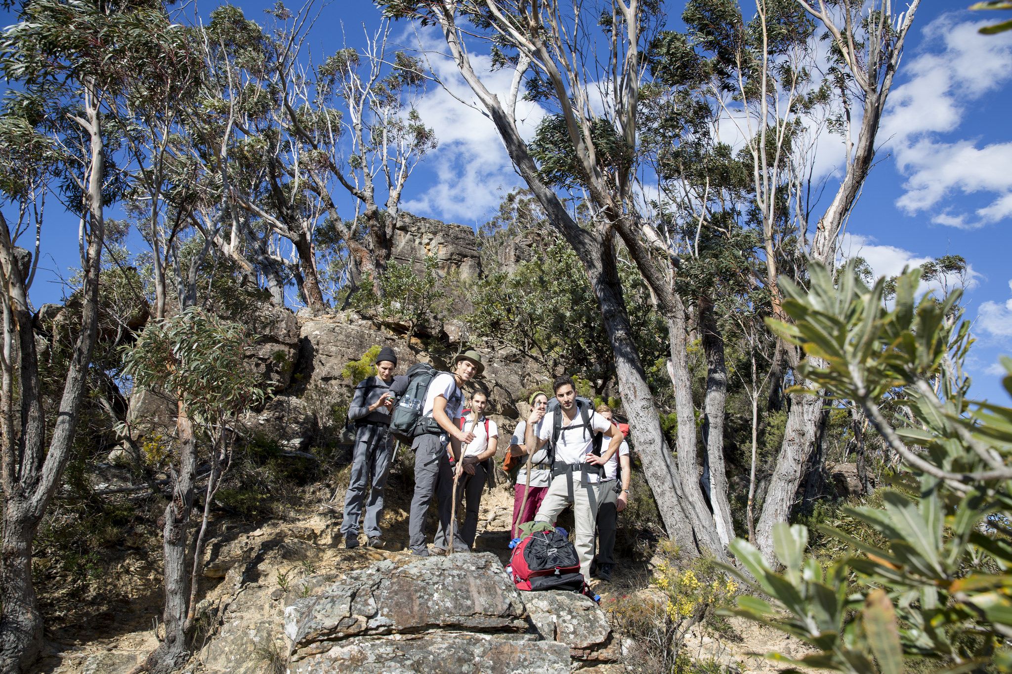
Where’s Wally? Scrambling up towards Mt Ollivier

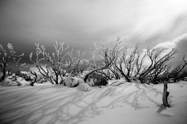
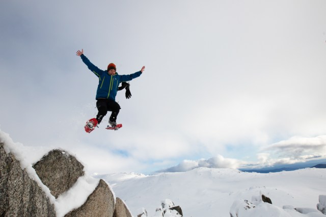
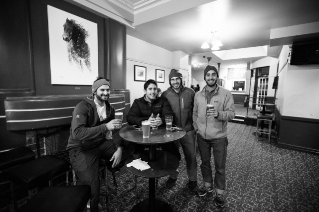
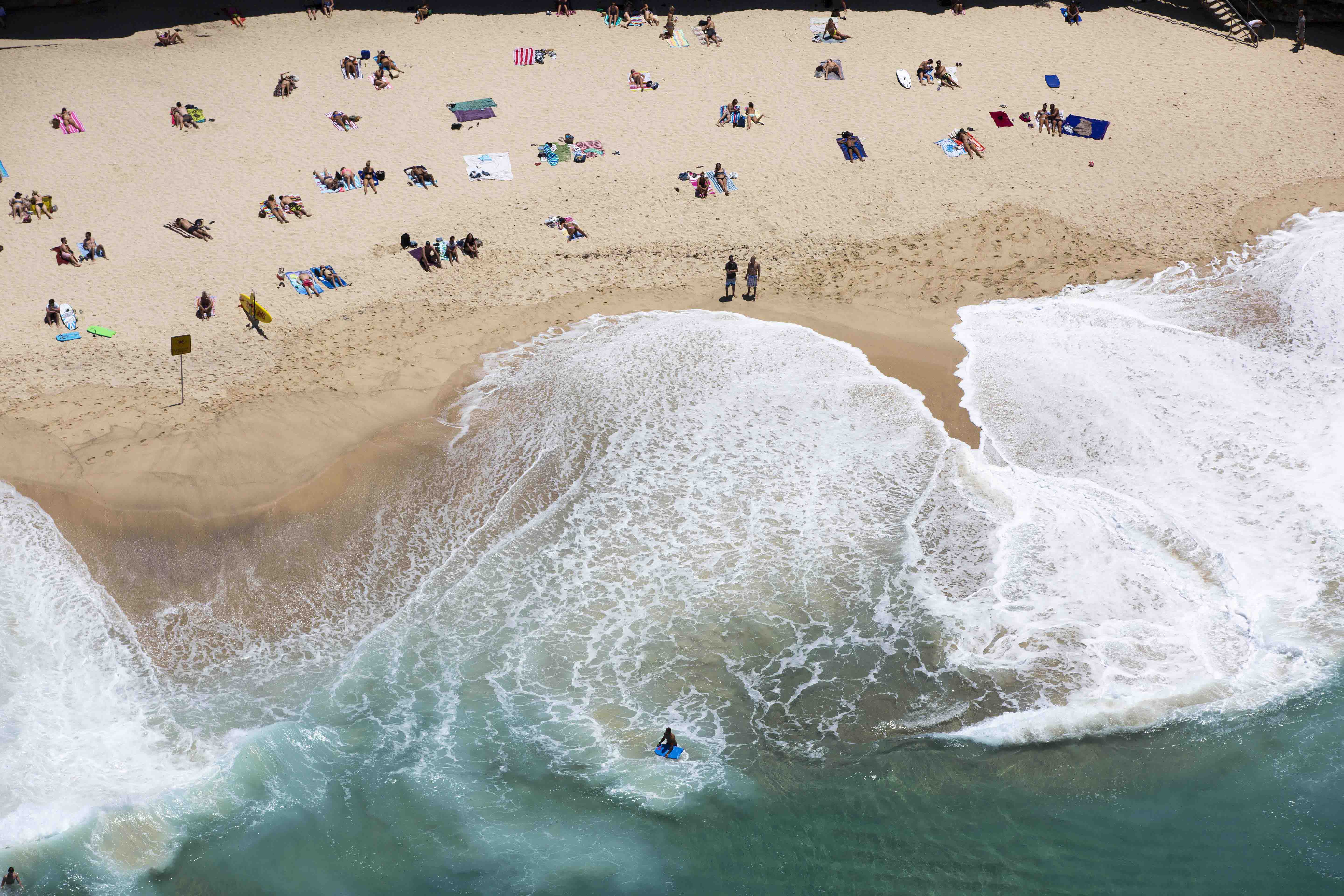
No caption required

The spirit of New Zealand engulfs us and the wonders we encounter in this remote and rugged region draw us ever closer to the natural world around us

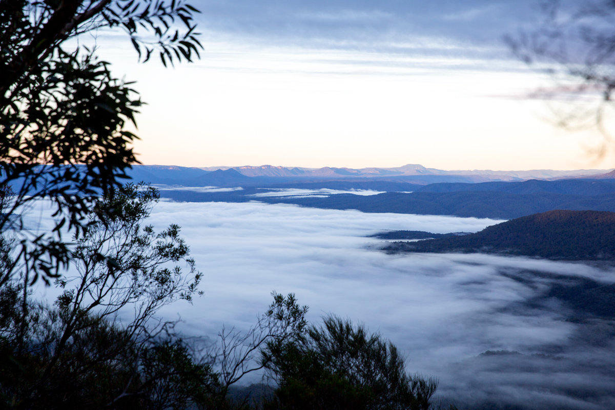
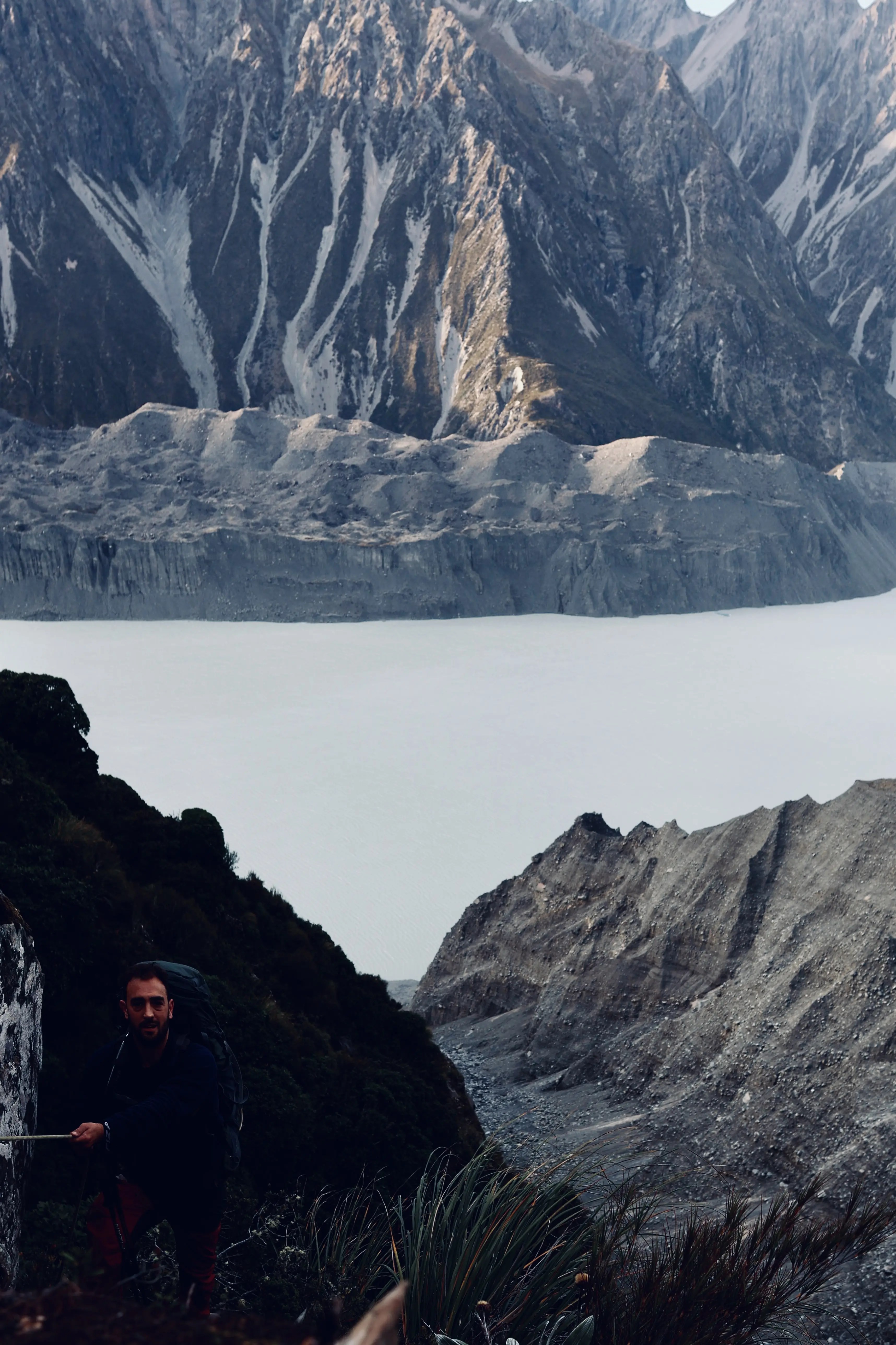
Looking out from Mount Ollivier

Looking out from Mount Ollivier over the entrance to Mount Cook National Park

Gas stop

Queenstown from above

Downhill mountain biking the Skyline trails

Horse power

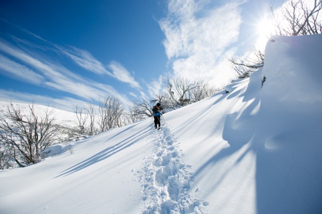
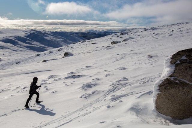
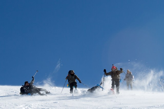
Heading out from Lake Hāwea, Idi and I had the Grandview hike all to ourselves. The isolation was invigorating, not to mention the 1000m vertical ascent and descent over 18km.

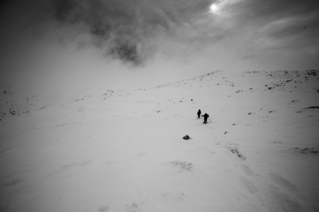
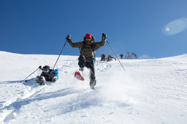
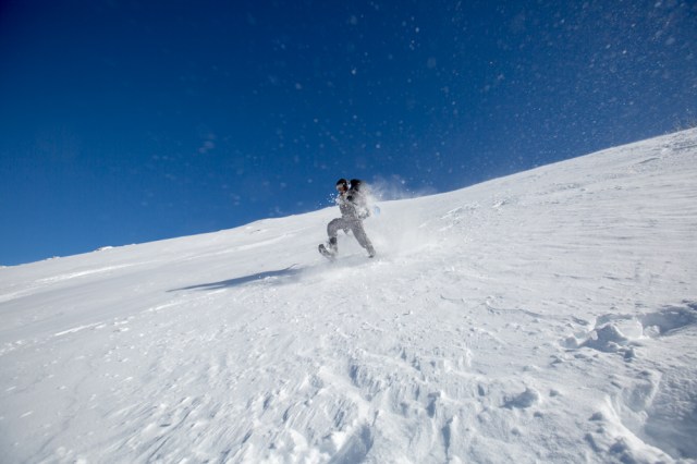
We set off from the Grandview trail head under sunny blue skies, but as we ascended, a wicked wind whipped us from the west. We knew it had swept over the snowcapped peaks of Mount Aspiring National Park, but we were still surprised by its icy fury. Despite travelling uphill, we had to wear thermals, fleeces and windbreakers. Our preparation had put us in good stead. In one of the last photos of our New Zealand adventure, Idi begins the descent while I hang back to capture a few photos before he vanishes into the white abyss.

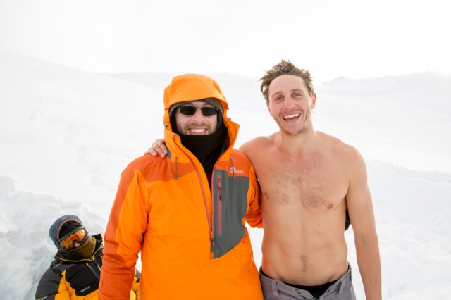
There is happiness and gratitude written all over my face as the New Zealand adventure nears its conclusion at the top of the Grandview hike with windy, near-freezing conditions. We left no stone unturned in our quest to experience as much of this extraordinary country as possible in a short space of time. Thank you NZ and Idi for what I hope to be the first of many unforgettable trips to this country.


")


")